Geohistory - Terrain
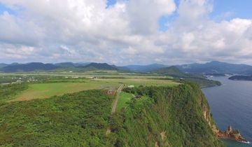
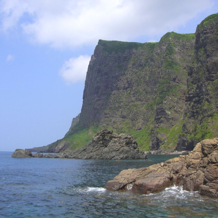
The Kuniga Coast, which stretches about 10 km along the northwestern part of Nishinoshima Island, was formed by a combination of volcanic activity about 6.3–5.3 million years ago and subsequent erosion from the winds and waves of the Sea of Japan.
One of the highlights of the Kuniga Coast is the 257-meter-high sea cliff Matengai Cliff. Its numerous layers of basalt rock create a striped pattern, indicating that the cliff reached this height due to repeated eruptions. A series of caves formed by erosion also line the Kuniga Coast. The bridge-like Tsūtenkyō Arch, another highlight of the coast, was once one of these caves. It is believed that the back of the cave collapsed due to a landslide, leaving only the entrance to form the shape of an arch.
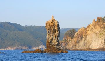
Other fascinating features of the Kuniga Coast include sea stacks and wave-cut platforms, textbook examples of the variety of erosion-shaped landforms and their changes over time.


